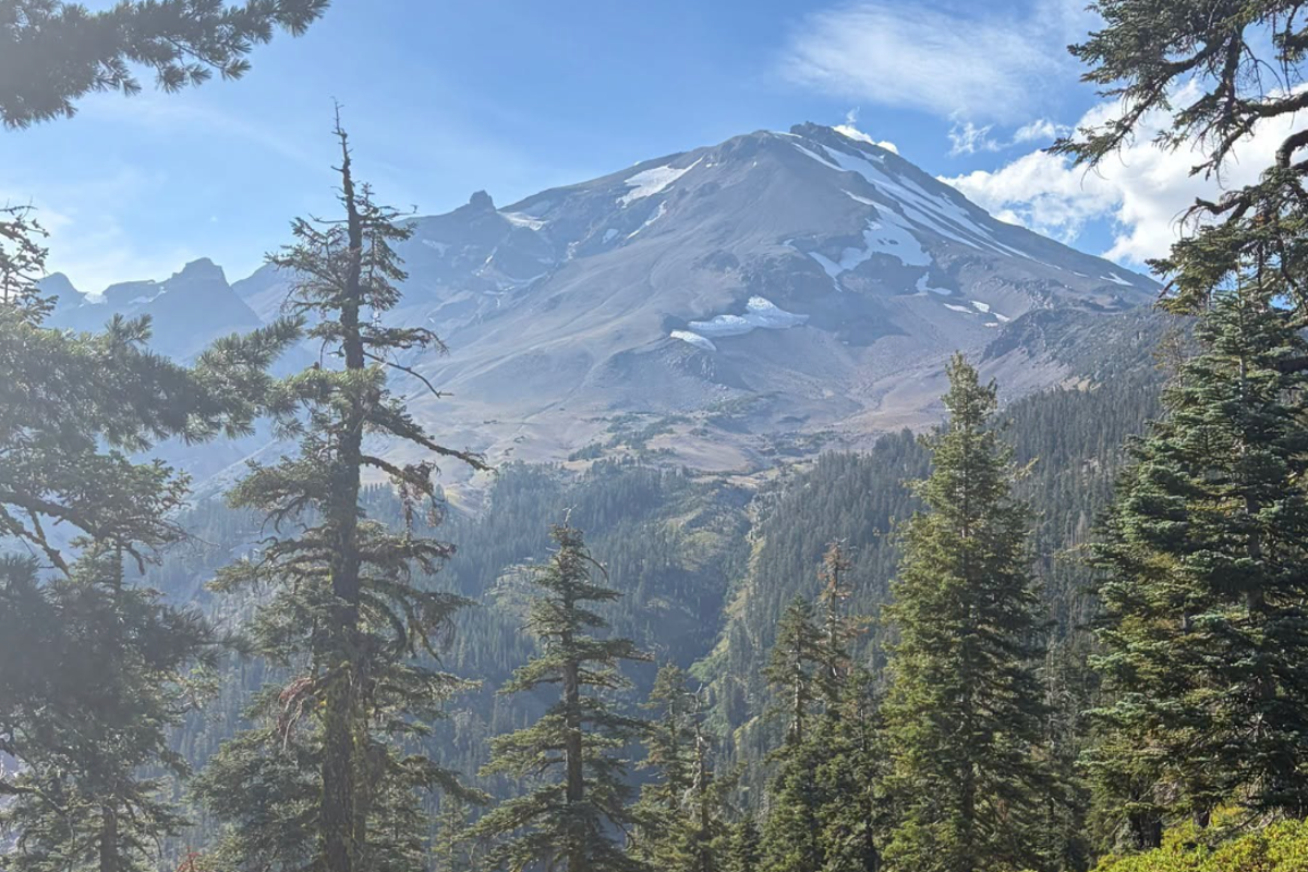
Two hikers stranded on a steep, snow-packed ridge in California recently learned a hard lesson about modern software. They trusted an artificial intelligence route planner to guide them through unfamiliar backcountry terrain. The application generated a path that looked efficient on a smartphone screen, but translated to an impassable cliff face in reality. Rescuers found them shivering, dehydrated, and entirely dependent on a helicopter extraction.
This rescue is not an isolated mishap. It is the predictable outcome of an industry rushing to monetize algorithmic mapping without understanding physical geography. Also making headlines in related news: The Night the Code Crossed Over.
When software companies treat rugged wilderness as a data problem to be optimized, people get hurt.
The Flawed Logic of Silicon Valley Cartography
Traditional trail maps are built by humans who walked every mile, measured the grade change, and noted seasonal hazards. They understood that a mountain trail is dynamic. Further information regarding the matter are covered by ZDNet.
AI route planners operate differently. They ingest satellite imagery, crowdsourced track logs, and topographic elevation models. Then, they stitch these data points together using predictive algorithms that prioritize mathematical efficiency over physical reality.
The core issue lies in how machine learning models process constraints. If a user asks for the fastest route between two coordinates, an algorithm might calculate a straight line across a slope that looks flat in a low-resolution digital elevation model.
In practice, that slope is a crumbling scree field or a vertical wall of rotten granite. The computer sees pixels. The hiker faces gravity.
Why Digital Trails Disconnect From Physical Reality
- Static Data vs. Seasonal Hazards: Algorithms rarely account for sudden snowpacks, washouts, or downed timber after winter storms.
- The Pathfinding Fallacy: Software assumes that every detected footpath is maintained and safe, ignoring unofficial animal tracks or closed conservation areas.
- False Confidence: Clean user interfaces create a dangerous illusion of safety, convincing inexperienced users they are prepared for remote environments.
The Gamification of Outdoor Risk
Tech platforms thrive on engagement metrics. To keep users opening the app, mapping applications increasingly incorporate features designed to mimic fitness trackers and social media networks. Users are encouraged to bag peaks, log fastest known times, and follow crowd-sourced routes created by anonymous contributors.
This gamification creates a dangerous psychological shift. Beginners who would normally consult a park ranger or study a topographic map now blindly follow a glowing blue dot on a phone screen.
They treat a backcountry trek like a video game quest where the map UI guarantees a clear path to the objective.
When the terrain breaks script, panic sets in. Batteries die in the cold. Cell service vanishes. The smartphone transforms from a utility tool into a paperweight, leaving travelers stranded miles from the nearest road.
Bridging the Gap Between Code and Conservation
Search and rescue teams across the American West are spending more time pulling tourists out of remote canyons because digital tools led them astray. County sheriffs now routinely issue warnings about unverified mapping apps that recommend dangerous shortcuts across private land or technical mountaineering routes disguised as casual day hikes.
Fixing this crisis requires a fundamental shift in how route generation software is built and marketed.
Necessary Reforms for Mapping Software
- Mandatory Warning Overlays: Algorithms must display prominent safety alerts when a generated route enters avalanche territory, technical climbing zones, or unmaintained wilderness.
- Integration with Local Authority Data: Map providers need real-time data feeds from local forest services and search and rescue teams regarding closures and trail conditions.
- De-emphasizing Speed: Route generation models must stop optimizing solely for the shortest distance or time, factoring in physical difficulty ratings instead.
Technology will continue to shape how we explore the natural world. But until software developers respect the physical limits of the backcountry, the mountains will continue to expose the deadly limits of their code.