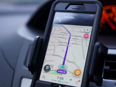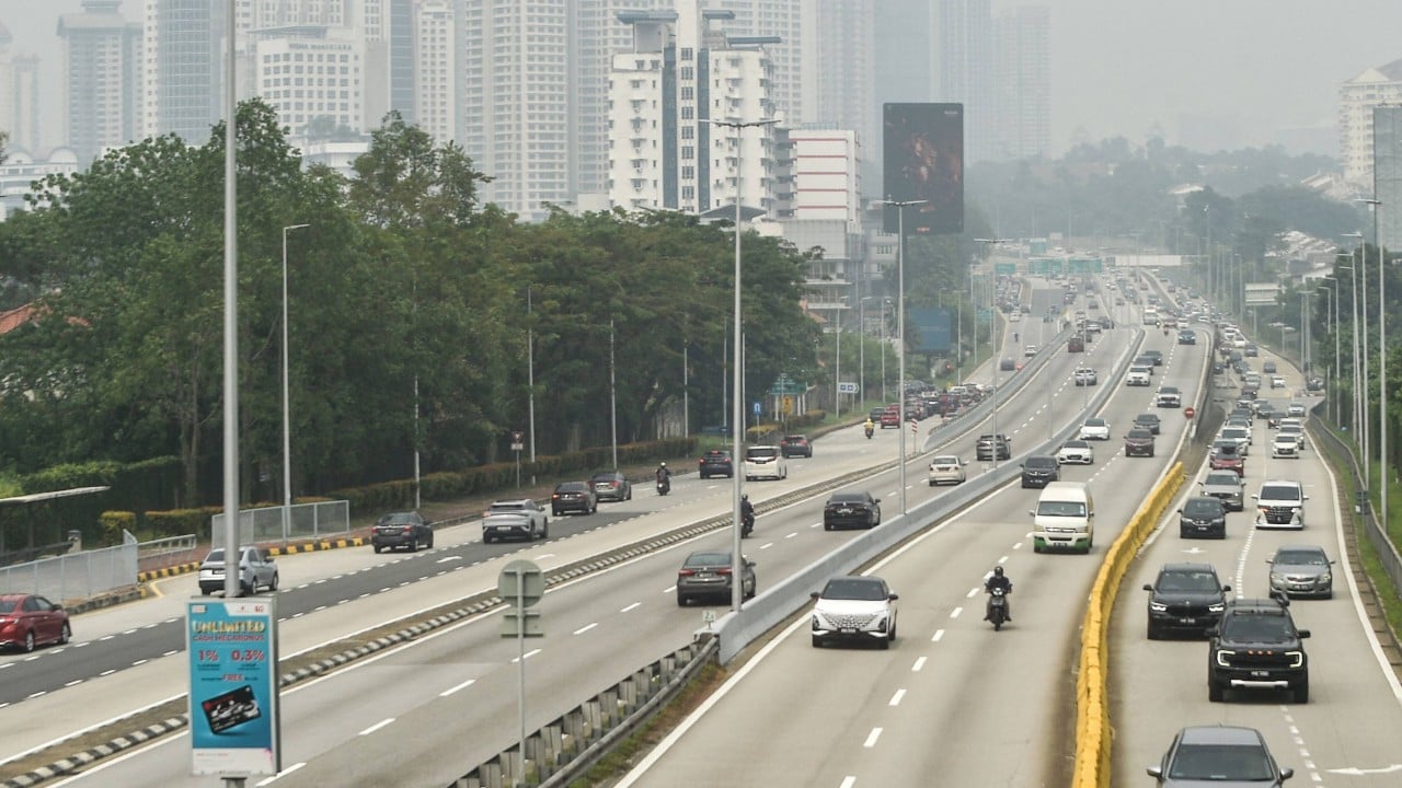
Tell millions of commuters to ditch a navigation app they use every morning, and watch what happens when the backup app isn't ready for rush hour.
That's basically what played out in Malaysia after Prime Minister Datuk Seri Anwar Ibrahim encouraged citizens to use the homegrown TuJu app over Waze, following a directive restricting Waze for civil servants on official duty amid data security and jurisdiction concerns. Drivers rushed to download TuJu. Almost immediately, the app buckled under the sudden wave of traffic.
If you've ever relied on a navigation app during a monsoon downpour on the NKVE or while dodging a stalled lorry near Klang Valley, you know how unforgiving bad routing is. One frozen screen or missed turn can turn a 25-minute drive into an hour-long headache. And that's the core tension behind the TuJu app rollout—politicians pushed for digital sovereignty fast, while real-world navigation takes years of crowd-sourced telemetry and cloud scale to get right.
Why Anwar Urged Drivers Away from Waze
The push started around October 20, 2026, when the government moved to stop civil servants from using Waze for official duties, citing data security, sovereignty, and concerns over Waze's legal jurisdiction and ties to Israeli law. Anwar also encouraged everyday Malaysians to consider local alternatives rather than handing movement data to foreign platforms.
Waze—originally developed in Israel and acquired by Google in 2013—has long been a staple on Malaysian roads because of real-time driver reports, speed trap alerts, and aggressive rerouting. Waze pushed back against claims that it collected sensitive government data or allowed user data exploitation, calling those claims false. Still, the debate struck a chord in Malaysia, where data privacy, MyDigital ID, and foreign tech reliance have been front and center.
The catch? Telling people to leave Waze is easy. Giving them a tool that handles daily city driving just as well is another story entirely.
What Happened When Millions Tested the TuJu App
Developed by Prosignal Consortium in collaboration with the Malaysian Highway Authority (Lembaga Lebuhraya Malaysia, or LLM) and launched in November 2025, TuJu wasn't built as a full-blown replacement for Waze. Officials later clarified that it was designed primarily as a highway travel companion—helping motorists check rest and service areas (R&Rs), view highway CCTV snapshots, check toll details, and spot highway incidents.
Once Anwar highlighted it, expectations jumped overnight. Millions of drivers treated TuJu like a drop-in Waze replacement, and the cracks showed right away.
- Search and sign-up friction: Many early reviewers struggled just to find familiar destinations like KLCC, KLIA, shopping malls, or home addresses, while others ran into sign-up snags like missing verification emails.
- Server strain and outages: When downloads surged past one million and traffic spiked, core navigation features went offline for upgrades while certain highway info features stayed up.
- Missing everyday Waze perks: Drivers noticed the absence of features they lean on daily, including camera alerts and Apple CarPlay or Android Auto support.
- Skyrocketing infrastructure costs: In mid-November 2026, Parliament heard that the developer was hit with an RM300,000 navigation bill in a single day after downloads surged—an eye-opening reminder of how expensive mapping APIs and cloud scale get when traffic spikes unexpectedly.
Let's be honest: blaming a highway info app for struggling at full-scale urban turn-by-turn navigation misses part of the nuance, yet the backlash was predictable. When a prime minister names an app during a high-profile ban debate, drivers test it on their toughest commutes. If search fails on a routine trip, patience runs out fast.
Even inside government circles, the rollout sparked debate over procurement and readiness, with calls for open tenders and clarification that civil servants weren't forced onto a single exclusive app.
The Engineering Gap Behind Local Navigation
From an engineering perspective, building a navigation app that rivals Waze or Google Maps isn't just about drawing roads on a screen. It's a live data problem.
Waze works so well in dense traffic because millions of phones constantly feed speed, braking, and location signals back into a routing engine that recalculates paths in seconds. Without that massive real-time feedback loop, a routing engine is mostly guessing based on static maps or slower feeds.
Then there's dashboard integration. In modern cars, fumbling with a phone screen is distracting and clunky. Drivers expect CarPlay or Android Auto so maps sit right on the center display. Without that integration, a navigation app feels like a step backward from the moment you put the car in drive.
Cloud billing is the third trap. Mapping tiles, geocoding searches, and routing queries scale directly with user activity. When a viral wave or government push triggers a massive spike without matched billing caps or pre-scaled infrastructure, costs can jump wildly—turning a low-budget local project into a financial shock overnight.
Practical Alternatives and Next Steps for Drivers
If you're trying to figure out what to actually put on your phone right now, don't force a bad tool just to make a point—and don't assume there are only two choices.
First, match the app to the trip. If you're driving long stretches on Malaysian expressways and want official highway CCTV views, toll info, or R&R details, keep an eye on TuJu as patches roll out, but don't count on it yet for tricky city shortcuts or seamless dashboard projection.
Second, test other local and global options depending on what matters most to you:
- Arah Maps is a Malaysian-made option that skips mandatory sign-ups and ads while offering camera alerts and community-style reports.
- PINTAZ is another local tool worth checking if toll pricing and speed camera alerts top your list.
- Google Maps, Apple Maps, or HERE WeGo remain strong backups when you need rock-solid routing, offline map downloads, or reliable CarPlay and Android Auto support.
Third, audit what you actually share. Whether you pick a local app or a global giant, check location permissions so your app only tracks movement while you're actively navigating—not 24/7 in the background. Give local developers room to improve, test updates on low-stakes drives first, and keep a reliable fallback ready before your next big commute.